Live ocean data turned into a daily plan — where to go, what's biting, and why. Online or fully offline on the water.
Flux Forecast reads the ocean for you and turns it into a clear plan, inshore and offshore.
Species to target, high-probability zones, and the reasoning behind every call.
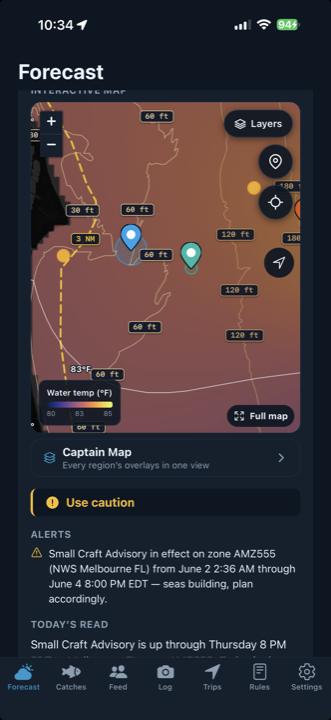
Sea-surface temperature, chlorophyll, bathymetry, depth contours, wrecks & reefs.
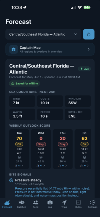
Major/minor windows, wind, swell, and pressure trend at a glance.
Photo, GPS, and auto-tagged ocean conditions for every fish you land.
Up-to-date saltwater rules by species and jurisdiction, always current.
Download your region and read the full forecast with zero signal offshore.
Daily forecast & outlook
Live sea-temp map
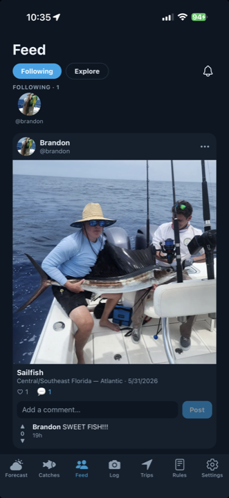
Share your catch
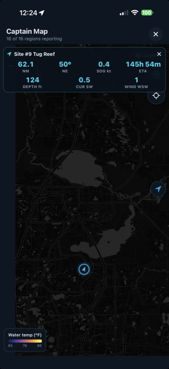
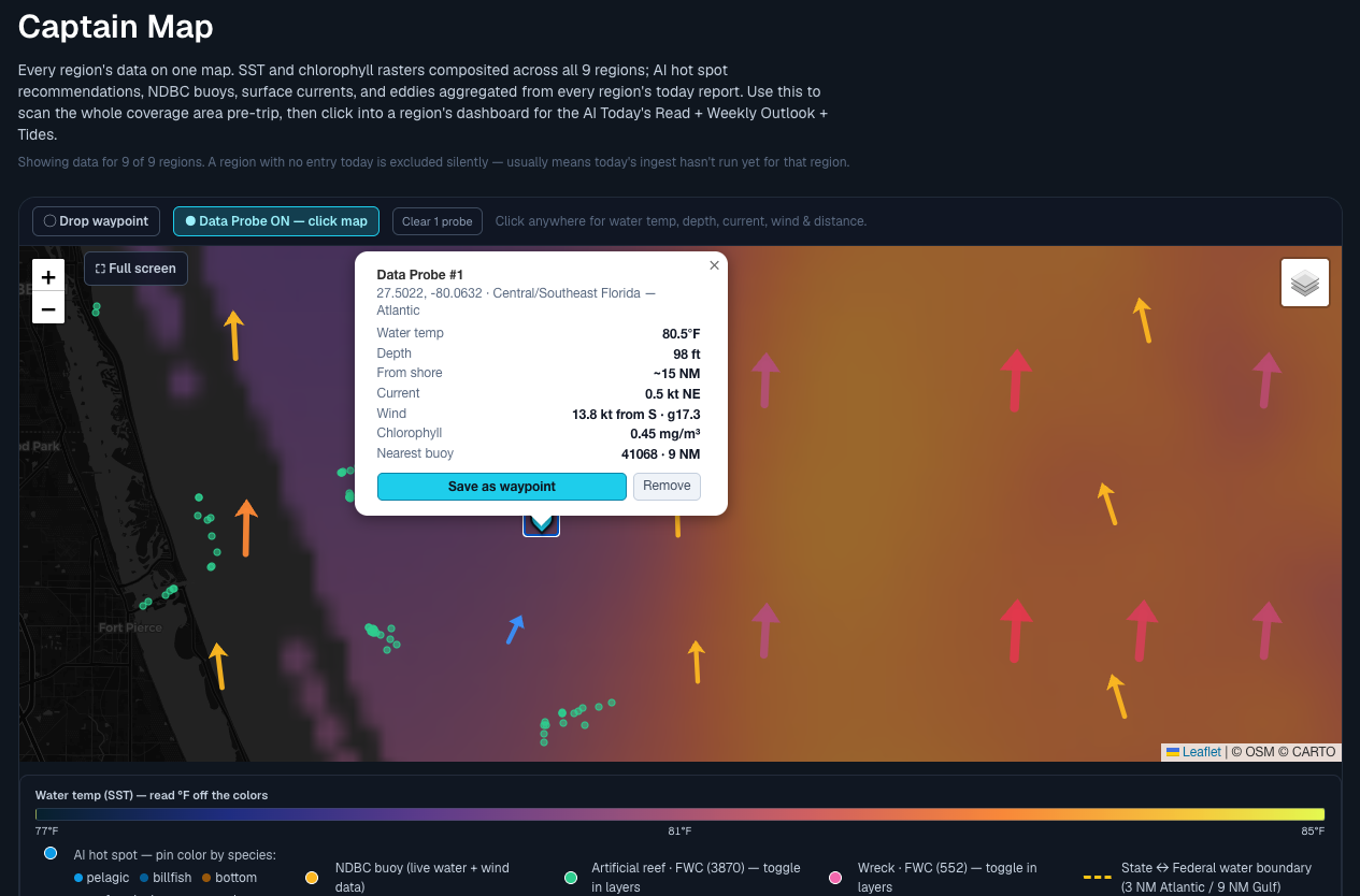
The Captain's Map
One forecast, every screen — a full command center on a 13″ iPad, and your next great day right on your wrist.
The full command center on a 13″ iPad
Your weekly outlook on Apple Watch
Upgrade to Captain for the data and tools that put you on the fish — and get you home.
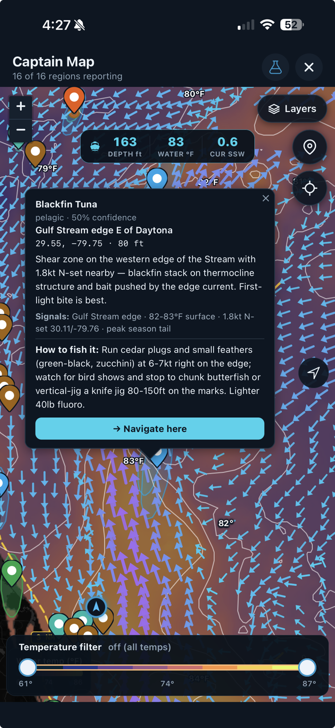
Every forecast fuses 15+ live ocean data feeds through a multi-model AI pipeline, then reasons over them like a veteran offshore captain — right down to the species, the spot, the bait, and the depth.
NASA JPL MUR sea-surface temperature at 1 km resolution, MODIS/VIIRS chlorophyll with automated bait-edge detection, NOAA RTOFS 40-layer 3-D thermocline, a CMEMS satellite-altimetry eddy atlas, the NOAA/Navy Gulf Stream North Wall, NDBC buoys, HF-radar surface convergence, plus NWS wind & wave, tides, and solunar — gridded and cross-referenced into one fused snapshot.
A dual-model AI engine reasons over the fused ocean state — a deep model writes the oceanographer's synthesis; a fast model scores all seven days and every spot. A custom-trained U-Net neural network projects sea-temperature shifts a day ahead from 10 days of history and 7 atmospheric drivers.
It hunts thermal-break × chlorophyll convergence — the highest-value pelagic signal — reads mixed-layer depth and the 20°C isotherm to know how deep fish are staging, tracks warm-core eddies and Gulf-Stream set, and draws each high-probability zone as an ellipse aligned to the current.
The 0–100 fishability score is recomputed for your vessel across 10+ naval-architecture factors: length-to-wave ratio, hull deadrise, wave steepness, displacement, roll moment, and self-bailing cockpit. A 22-footer and a 40-footer get different “go” days from the same sea state.
Subscriptions are billed through your Apple ID and can be cancelled anytime in your App Store settings.
Yes. Download your region before you leave the dock and the full forecast, maps, depth chart, and regulations read with zero signal — built for offshore.
Florida Atlantic & Gulf today, expanding up the Southeast coast (Georgia, the Carolinas, and beyond). New regions are added regularly.
You control every catch — public, friends-only, or private — and whether to share coordinates. Trip tracks are private and encrypted, never shared.
Subscriptions bill through your Apple ID. Manage, upgrade, or cancel anytime in your iPhone's App Store account settings.
Download Flux Forecast and turn the ocean's data into your edge.
Download on the App Store